Viewing entries tagged
trail running

1 Million Steps in 30 Days

1 Million Steps in 30 Days

By: Matt Setlack

The purpose of this post is to describe what it was like to do 1 million steps in 30 days. The exact number was 1,026,659 steps between 01 and 30 April 2019. This corresponded to a running distance of 878 km in about 77 hours (an average of 29 km of running in 2 hours and 34 minutes per day).

I am passionate about running and flying. I am lucky to have the opportunity to do what I love everyday. Anyone who knows me, knows that I’m intense and that I don’t do anything half-way; I either go all out or not at all. I hope that this post may not only inform but also motivate others to set a goal for themselves and then work hard to achieve it. I hope it will motivate you to find something that you’re passionate about and follow it. That could be running, learning a new instrument, learning a new language, volunteering in your community, etc.

Background

I started Phase 2 Basic Flying Training on the CT-156 Harvard 2 at the end of October 2018. The first three months (November 2018 to January 2019) were very busy and I spent every free moment studying. We then moved on to a month of simulator missions (February 2019), which freed up time to train. Once sims finished, I thought we would move right onto the flight line and start flying but instead we waited, and waited, and waited, and then waited some more. During that time we did personal studying and tried to stay sharp.

Because I had previously been in the routine of studying during all my free time and exercising very little, that routine carried through to March 2019. I found myself unfit (I had gained about 12 lbs since the start of course) and I didn’t like the trajectory that my physical fitness was going in. I wasted a lot of my free time on things that did not matter. I thought that since I had the time, I would do something about my plummeting physical fitness and took up a personal million step challenge.

Breakdown

My goal was to do 1 million steps in 30 days. In order to do this, I would have to walk/run an average of 33,334 steps per day. It was a good idea to break down the bigger goal into a daily goal because it kept me on track. If there was ever a time when I didn’t feel like running, I knew that if I didn’t run, then I would have to make up those steps (usually an additional 60 minutes of running) the next day. When you are already running about 2.5 hours per day, it is quite a jump to have to do 3.5 hours per day. Having a vision/goal is EXTREMELY important. It gives what you’re doing purpose and also gives you motivation to get it done.

As shown in the chart below, I was relatively consistent in terms of number of steps completed per day.

Number of Steps in April 2019.png

The Most Challenging Part

The most challenging part of this entire 1 million step challenge was getting into a ROUTINE the very first week. It was also fairly physically and mentally challenging at first since I had not been running a lot of mileage in the months leading up to April 2019 (see my Strava). Once I got into a routine, it became much easier to run 2.5 hours per day. As shown in the training log below from April 2019, this was typically broken up into a longer morning run outside at 6:30 am and a shorter lunch run or afternoon run on the treadmill.

I had previously completed a step challenge in May 2018 with the Aerospace Engineering Test Establishment (see post here). One of the big differences between this challenge and the previous challenge was that I almost always did two slightly longer runs per day (April 2019) rather than three shorter runs per day (May 2018).

April 2019 Time Run.png

Other challenging days were when the schedule changed. It’s much easier when there are set timings to complete various tasks throughout the day. Get up at the same time, go to work at the same time, run at the same time and go to bed at the same time. I found it really challenging when I had to get up at 4 am for a sim mission because then it threw everything else off.

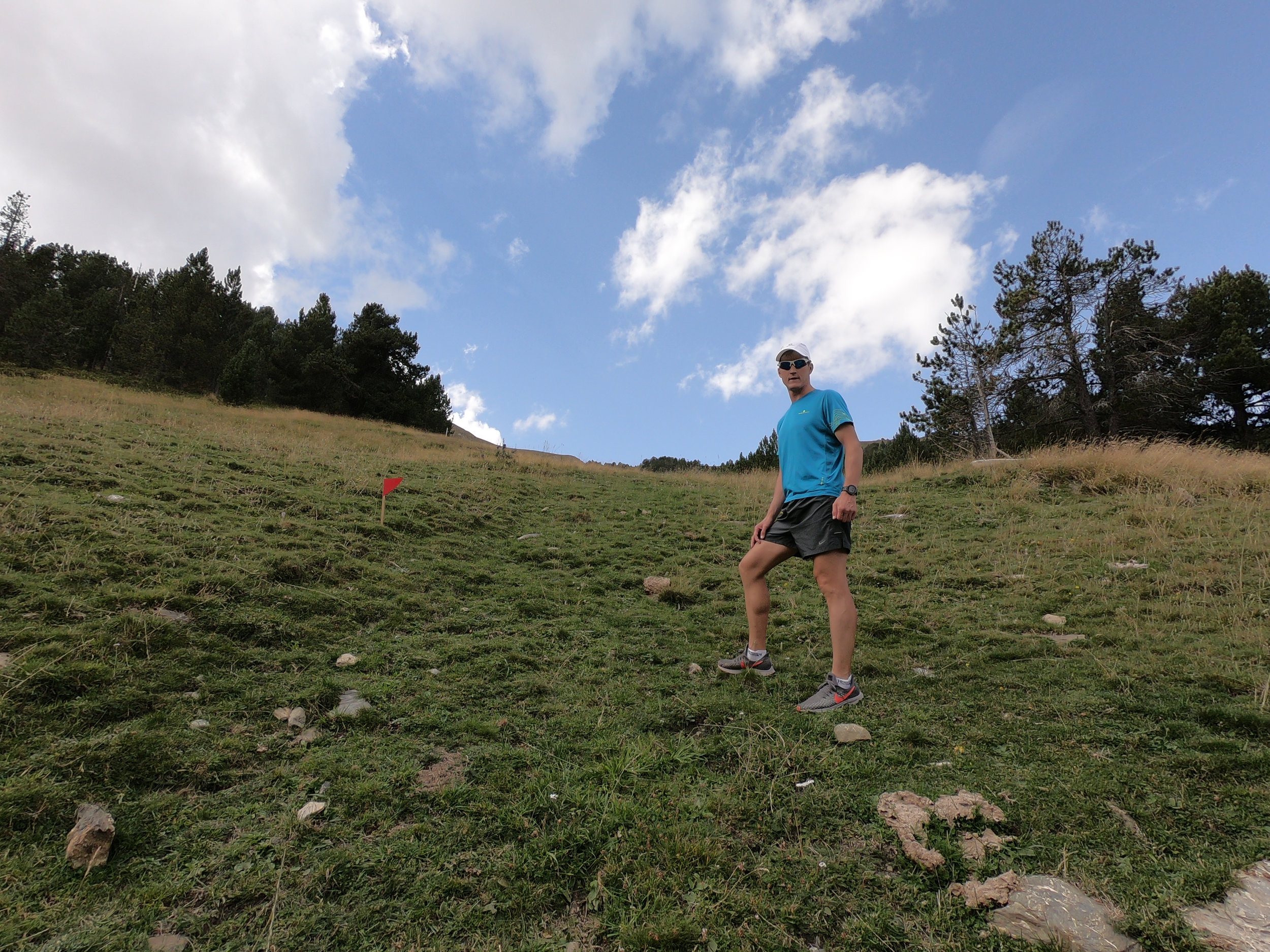
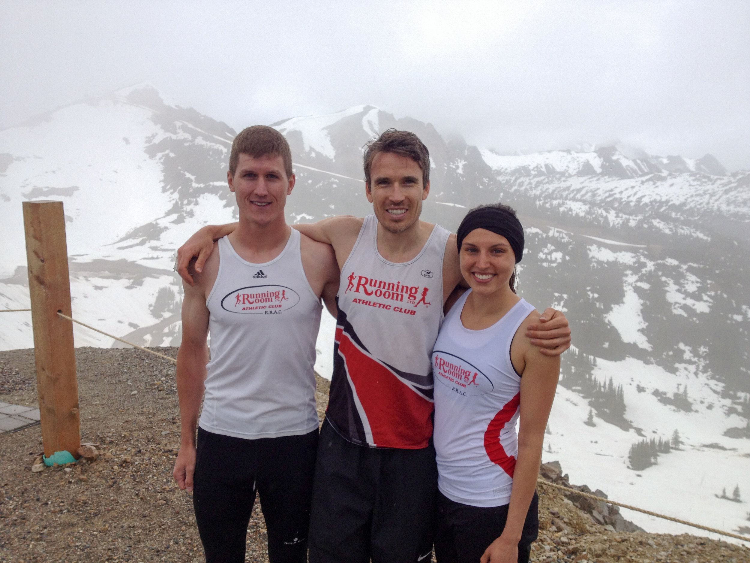
The photo below is from the most challenging run I did in the entire month. The temperature was around -2C with sleet/rain/snow and winds of 44 kph. With the windchill, the temperature felt like -8C. I did a 2:50 run up and down the road near Valley View in Wakamow Valley. My feet were completely soaked the entire time and my sunnies kept icing up. If I took them off, then ice pellets would sting my eyeballs. The advantage of doing these challenging runs (as long as you don’t get sick or injured) is that when you’re facing adversity in a race, you can look back and know that you have run through much worse before.

IMG_4955.JPG

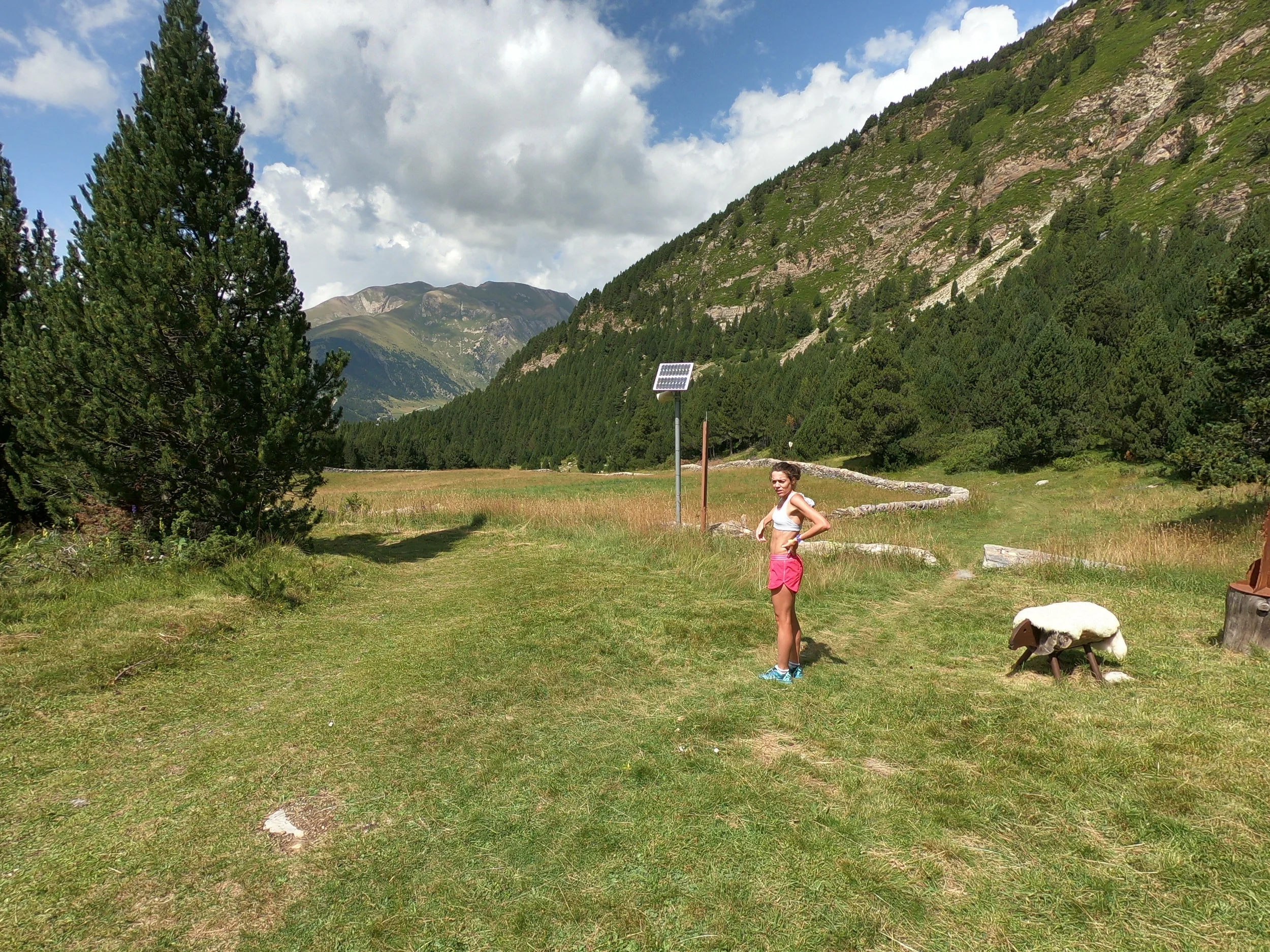
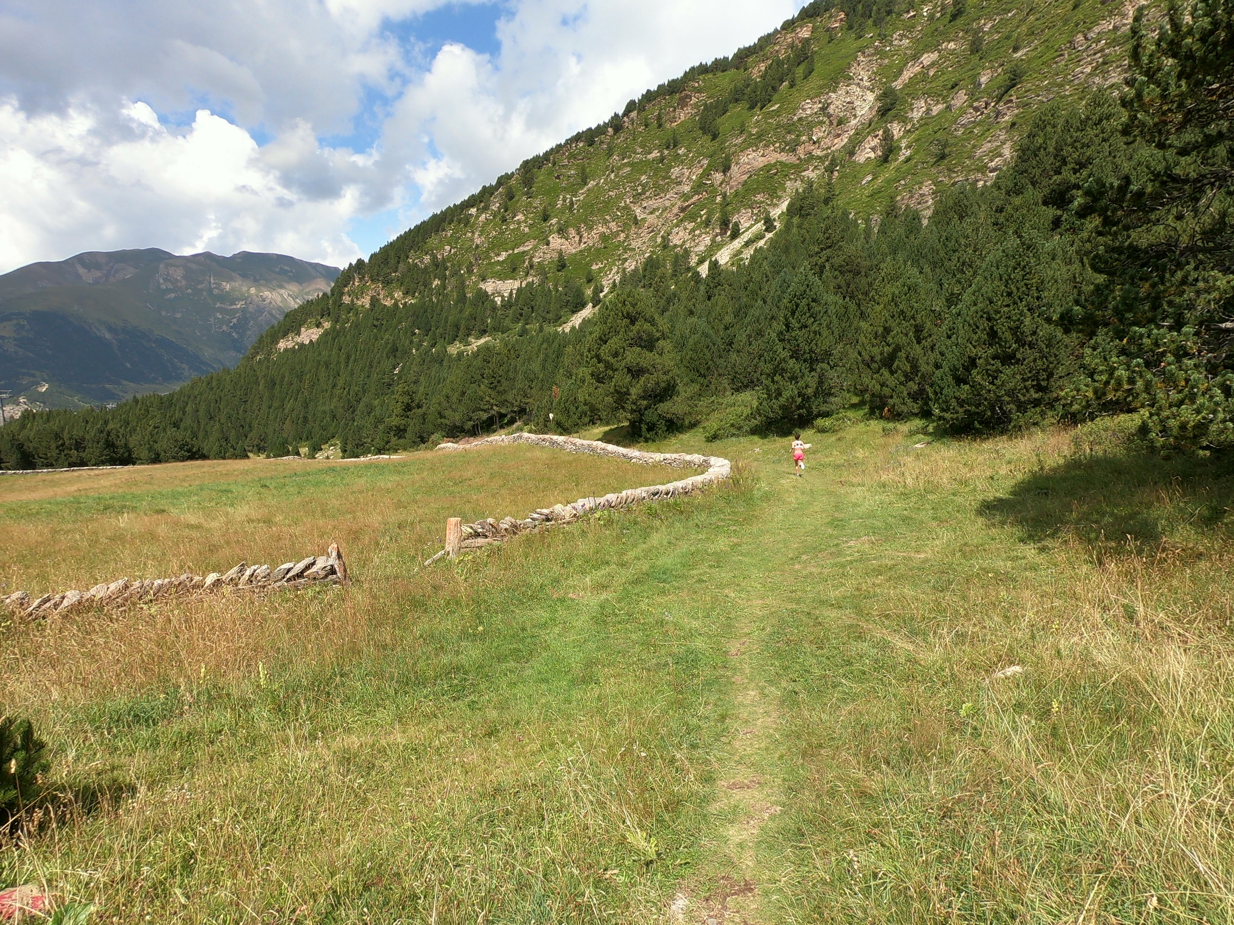
When I was in the mountains over Easter long weekend, I found it challenging running 90 minutes in the morning, sitting in a vehicle for 8 hours, getting back as the sun is going down and then going for another 60 minute run. It was also fairly challenging to shovel dirt or frame a house for 8 hours and then go for another 60 minute run in the evening. However, I genuinely enjoy volunteering to build houses so I did not mind at all.

The breakdown of runs I did in April 2019 is below (from my Strava training log).
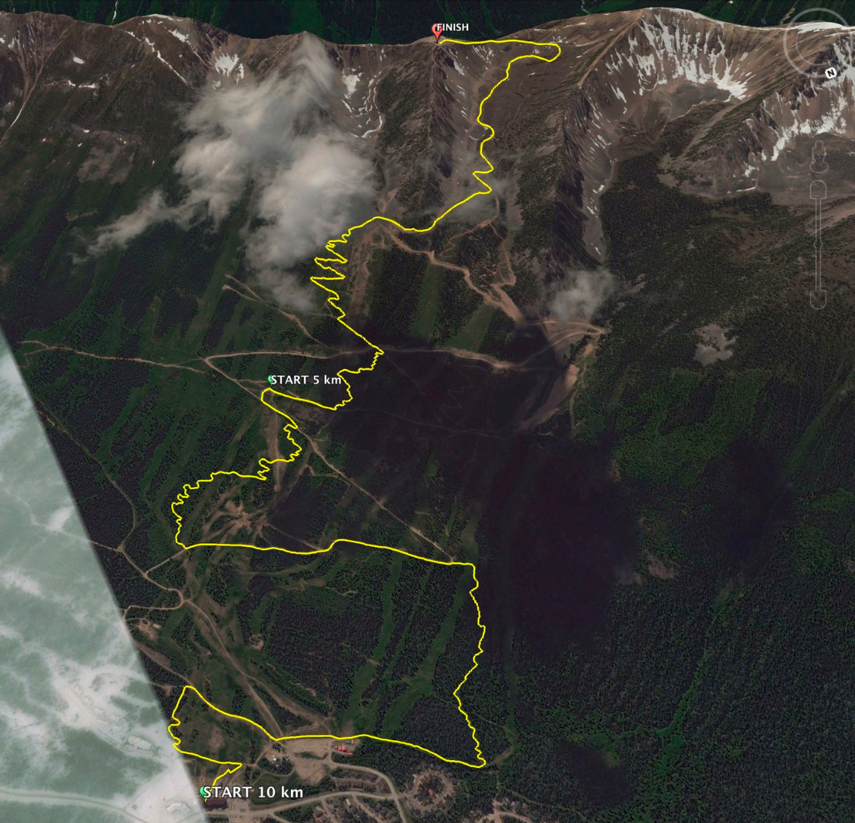
April 2019 Distance Run.png

Where did I run?

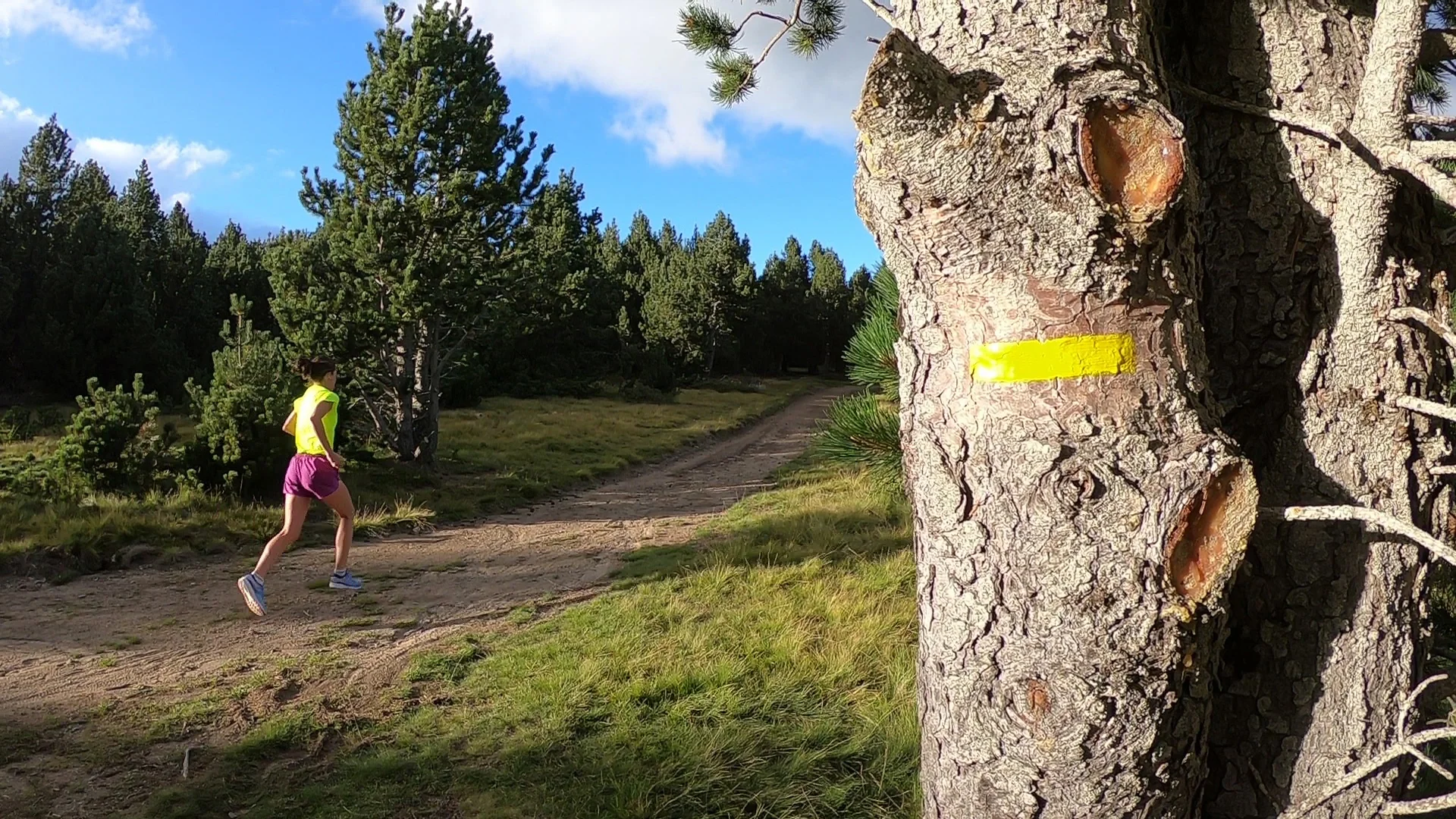
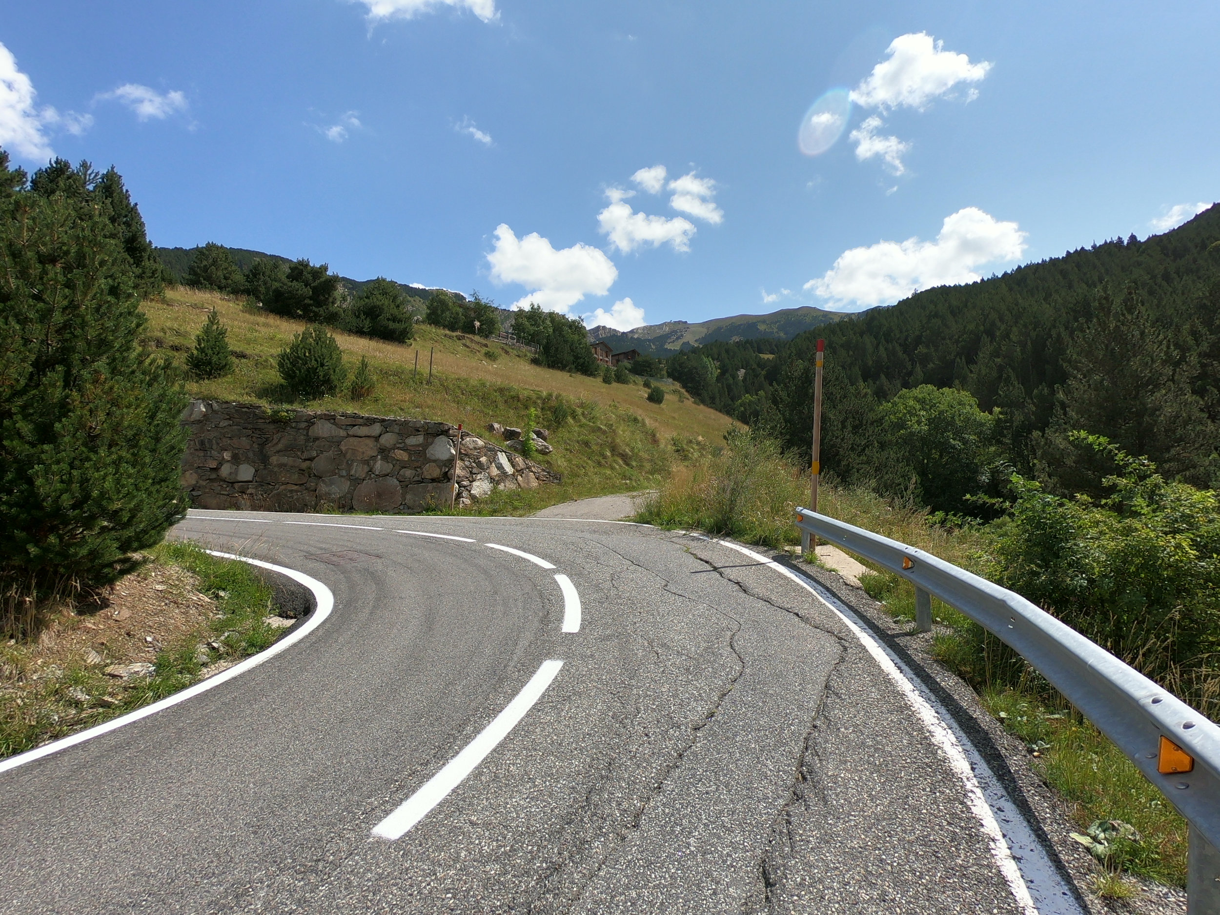
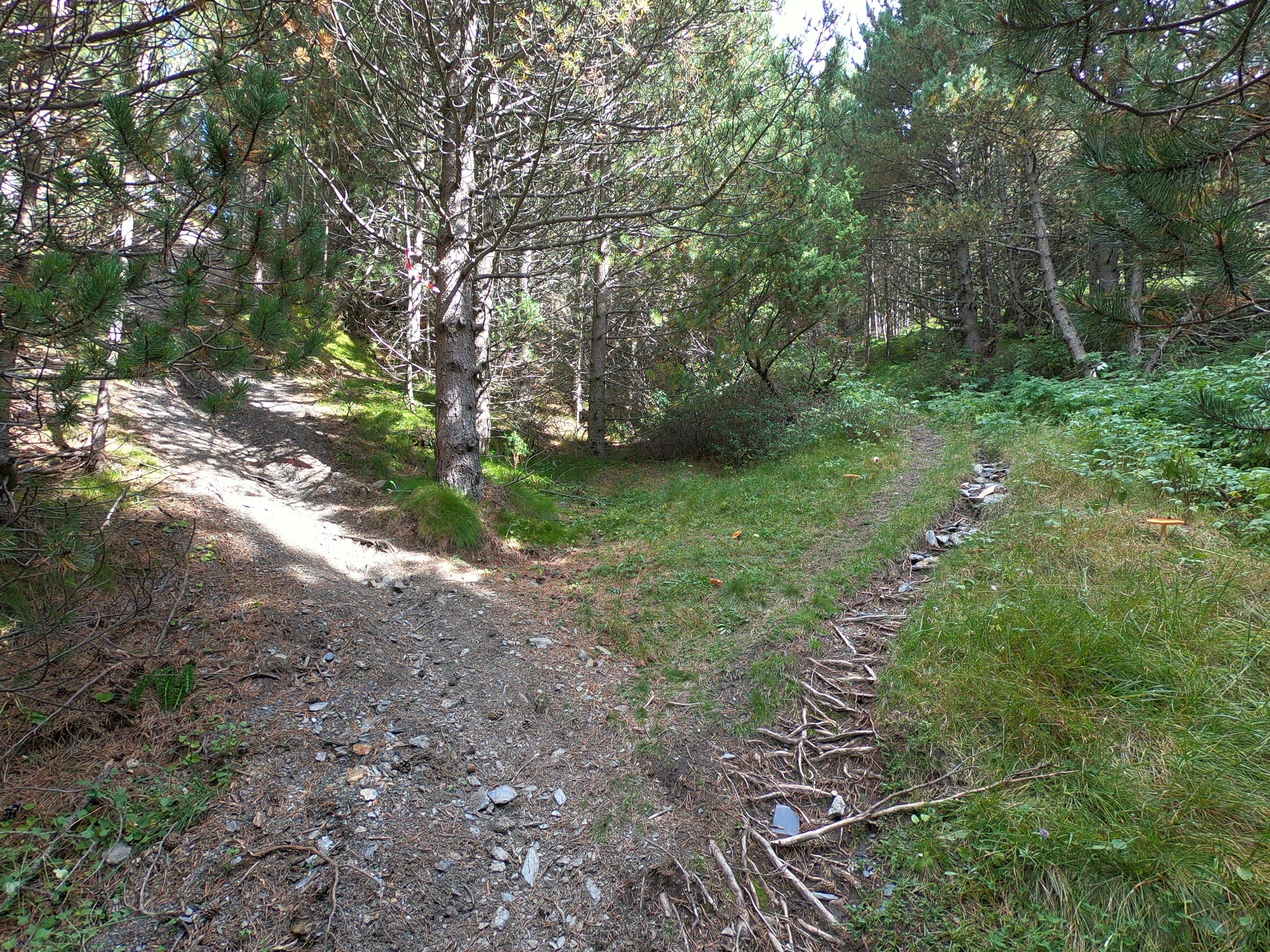
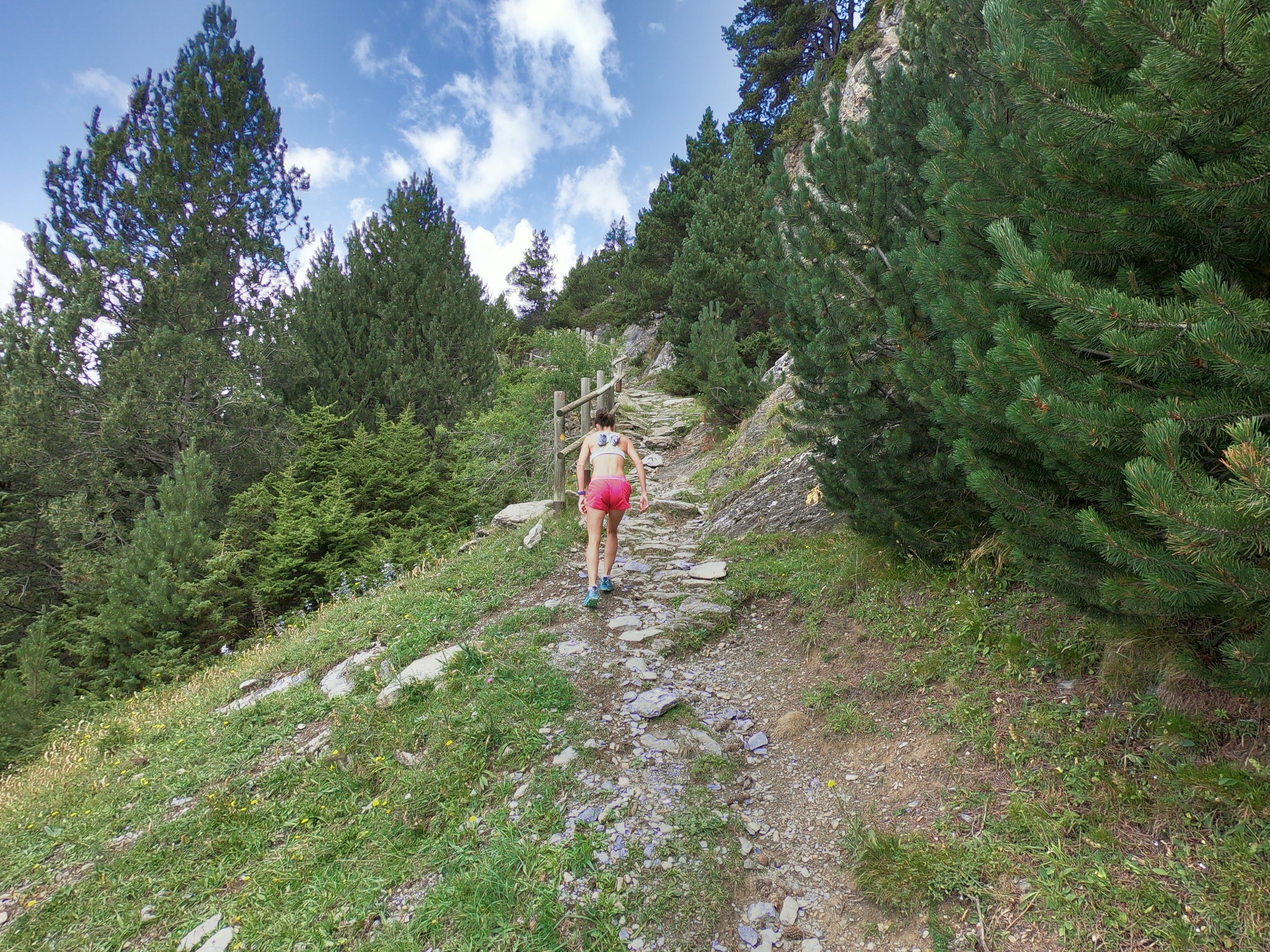
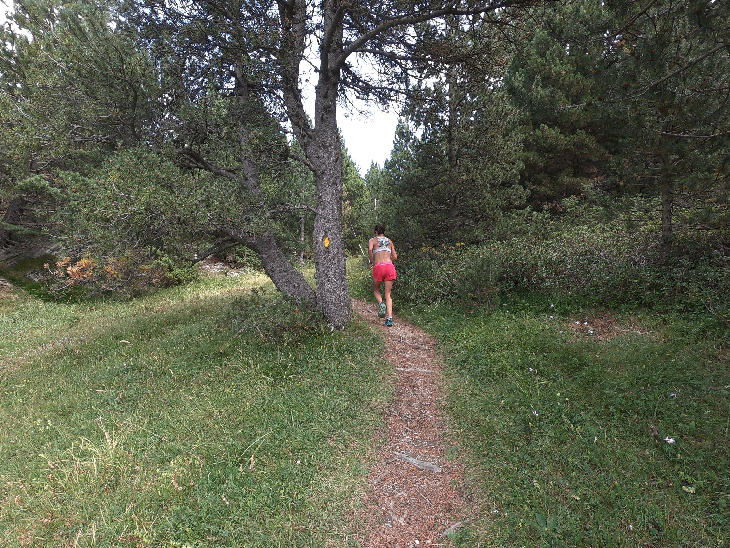
The thing about running from 15 Wing Moose Jaw is that you are on an island in a sea of fields. If you want to leave, there are only two options: left or right. To get to 95% of my runs, I ran on a single rut/trail in the ditch of 9 Avenue SW. Thankfully, there is an amazing trail network in the Wakamow Valley and I spent most of my time running there. Sometimes I ran on the trail network in Moose Jaw.

For a pdf of the Wakamow Valley trail map above, click here.

For a pdf of the Moose Jaw trail map below, click here.

Unintended Consequences

While running an average of 29 km per day for a month, this is what happened to me:

  1. I got a wicked farmers tan because I was spending so much time outside. I also got a lot more fresh air, which was nice.

  2. I felt better both mentally and physically than I have felt in months.

  3. I discovered so many new trails and got to know Moose Jaw much better. There is no way I would have done this if I had not started the challenge.

  4. My alcohol consumption decreased. I enjoy having a few drinks with friends at the mess on a Friday night. However, when you have to get up at 6:15 am to go for a 90 minute run, that puts a little damper on things. I found that I drank less and generally went to bed earlier.

  5. I generally ate better food. I always run before meals but occasionally after meals. Running with a Swiss mushroom burger, curly fries and a cheesecake dessert does not feel very good in your stomach. As a result, I didn’t intend on eating any healthier, it just kind of happened. I ate basic foods that would make me feel better in the long run rather than for the immediate gratification.

Running Kit

The great thing about running is that it requires very little kit. All you need is a pair of running shoe really. These are the things that I could not live without:

  1. iPod Shuffle - Big thanks to Dylan Wykes and Alex Palardy for giving me their iPod Shuffles. If you have a Shuffle that you’re not using and would like to sell it to me, I would be willing to give you up to $20 for it. Please let me know.

  2. Running Shoes - The running shoes I wore most frequently were: Hoka Bondi 6, Hoka Clifton 6, New Balance 1080v9, Mizuno Waveknit R2, and Salomon Speedcross 4. I pick my shoes up at Running Room (they have a military discount). My favourite Running Room store is the 109 Street store in Edmonton.

  3. Garmin 230 GPS running watch - Highly recommended. I am still waiting for Garmin to put a camera (in addition to bluetooth music) in their GPS running watches.

  4. Ronhill Apparel - I absolutely love Ronhill Apparel (and Hilly socks too). It fits me as if it was custom made for me.

  5. Ball cap and polarized sunnies - I always wear them. Since Moose Jaw is the windiest place I have ever been, the sunnies prevent dust and debris from blowing into my eyes. They also prevent me from poking my eye out on a branch in the forest. Sometimes it is so windy that my ball cap nearly gets blown right off my head.

Schedule

Everyday I ran about 2.5 hours, which did not include changing, showering, getting to the gym, etc. Usually I ran 90 minutes in the morning (6:30 am) and 60 minutes at lunch or after school. In addition to running, I did the following things:

  1. Monday - volleyball in evening 75 minutes

  2. Tuesday - #40 RCACS in evening

  3. Wednesday - nil

  4. Thursday - volleyball in evening 75 minutes

  5. Friday - mess

  6. Saturday - helping to build a house all day with Habitat for Humanity Moose Jaw

  7. Sunday - usually did one run of 2.5 to 3 hours.

How to NOT get injured

If you have seen my Strava training log, you may have noticed that I went from running about 25 km a week from November 2018 to March 2019 to running 200 km per week in April 2019. Generally, I don’t recommend bumping up your mileage that drastically. However, to mitigate the steep increase and reduce the probability of getting injured, this is what I did:

  1. Slow easy effort - all my runs were done at a very easy effort. I did not look at my watch at all; I just ran by feel. Usually it was somewhere in the range of 5:00/km to 5:30/km.

  2. Soft trails - 95% of my outdoor runs were done on soft trails in the Wakamow Valley.

  3. Cushioned running shoes - the majority of the time, I wore the maximalist Hoka Bondi 6.

  4. Treadmill runs - 60 minutes per day were done on the treadmill at 1% incline.

  5. Sleep - I generally went to bed at 10:30 or 11:00 pm and woke up at 6:15 am.

Giving Back to the Community

Once I got into the challenge, I noticed that I was generally more productive in areas of my life outside of running. Not only had the physical fitness component of my life improved, but other components of my life like work and volunteering also improved. I volunteered to teach aviation classes with #40 Snowbird RCACS. When I was younger, I went through the air cadet program and found that it helped me to become the person I am today. I wanted to give back something to the program. I thought that my education and experience would be beneficial to the program.

The Wakamow Valley trail network is one of the best trail networks I have ever run on so I volunteered to help maintain and improve the trail network.

I also volunteered to help build houses on the weekend for Habitat for Humanity Moose Jaw. I really believe in the program and I enjoy working as a team for something that is bigger than myself.

Conclusion

Although the million step challenge was not easy, I would recommend that you consider doing it. It will improve you as a person both physically and mentally. If you have any questions or would like more information, please email me at the “contact” link above.

You will always find time for things that are important to you.

34th World Mountain Running Championships in Andorra

34th World Mountain Running Championships in Andorra

By: Matt Setlack

For the first time, Emily and I had the opportunity to both compete in the World Mountain Running Championships. This post will describe my experience in Andorra (a small country of 71,000 people in between France and Spain) from the three weeks we went there ahead of time up to race day on 16 Sep 2018.

Travel to Andorra

Getting to Andorra from Cold Lake can take quite a while. We awoke at 4 am on 25 Aug 2018 and drove to the Edmonton International Airport, which is a 331 km drive away. We then flew from Edmonton to Montreal and Montreal to Barcelona, Spain. Once in Barcelona, we drove north for about 3 hours to a small town in the hillside called Pas de la Casa, Andorra. It took us almost 30 hours of travelling to get to Andorra, it was beautiful that we forgot how tired we were.

WMRC Andorra 2018 - Matt and Em.jpg

We stayed at a apartment called Pierre & Vacances Princesa in Pas de la Casa, where the elevation was about 2,200m ASL. It was also only a 5 minute drive up a winding road to Port d’Envalira (a pass in the mountains at 2,400m ASL). Staying here made me feel like we were living in the clouds, which we were, just like in the movie Oblivion.

WMRC Andorra 2018 - Princesa.jpg

We were extremely lucky to be able to train in such a beautiful place, which was also quite high up. When we first arrived, I noticed that I was breathing a little more heavily than I normally do particularly when walking up stairs. The pace of my runs also slowed down noticeably even though my perceived effort remained the same.

WMRC Andorra 2018 - Em Running.jpg

After a couple of days in Pas de la Casa, we drove about an hour east to Font Romeu, France. We found another apartment there located at about 1,800m ASL. We specifically checked the GPS coordinates of the apartment and crosschecked with a topographic map to ensure we were staying at a decent elevation. We specifically went to Font Romeu so we could train on the track at the National Altitude Training Centre but unfortunately, the track was completely torn up and being reconstructed when we were there.

WMRC Andorra 2018 - Alt Trg Centre Font Romeu.jpg
WMRC Andorra 2018 - Alt Trg Centre Font Romeu 1.jpg

All was not lost though as there was an AMAZING network of trails in Font Romeu. We bought a map with 76 different trails shown on it. This was the best trail network I have seen anywhere in the world in my life. The signage was perfect, the trails were well maintained, there was ample free parking at the trailhead and the trails were very runnable.

Font Romeu Signage.jpg

After staying in Font Romeu for about a week, we returned to Pierre & Vacances Princesa in Pas de la Casa for about four days right up until the time when the apartment closed to prepare for the winter ski season. We really enjoyed it here A LOT.

Two days before the rest of the Canadian Team arrived on 13 Sep 2018, Emily found a really nice hotel in Canillo that was right on the race course.

Pretty much everything we did in the three weeks leading up to the World Mountain Running Championships in Andorra was planned and deliberate. We left no stone unturned. I used almost all of my yearly vacation days and we flew to Andorra about three weeks early. We did this for the following reasons:

  1. Allow sufficient time to get over the 8 hour time difference.

  2. Train on mountain trails. The nearest mountains to Cold Lake are a 700 km one way trip (1,400km round trip) away. There are very few (if any) hills in Cold Lake to train on. In two weeks, we ran about 11,000m of vertical without even trying. It takes over HALF A YEAR of running at least twice per day to run the equivalent vertical in Cold Lake.

  3. Train at altitude. Cold Lake is at 500m ASL. We trained at elevations of around 1,500m ASL at Lac de Matemale, France to 2,400m ASL at Port d’Envalira, Andorra.

  4. Become accustomed to race course. I didn’t just run over the race course, I studied it, I took photos of it and then a went back to my hotel and analyzed it. I discussed the race course with the course marker, Roxanne. I pretty much knew every twist and turn. By the time race day arrived, I could almost run the race course blindfolded (not really).

  5. We also love taking running vacations and think the best way to explore an area is on foot in a good pair of trail shoes.

13 to 15 Sep 2018

On 13 Sep 2018, Kris Swanson, Emily and I checked into one of the race hotels called Ski Plaza. It was an extremely nice hotel. There was a buffet for each meal of the day. The food was delicious and plentiful. The team spent at least 1.5 hours socializing at each meal and enjoyed everyones company.

hotel food.jpg

While walking over the upper section of the race course one day, we had the opportunity to meet the WMRA President, Jonathan Wyatt and Council member Sarah Rowell. Jonathan Wyatt placed 21st in the 2004 Olympic Marathon in Athens, Greece in a time of 2:17:45. He ran 2:13:00 at the 2003 Hamburg Marathon and is a multiple World Mountain Running Champion. Sarah Rowell placed 14th at the 1984 Olympic Marathon in Los Angeles, USA in a time of 2:34:08. She ran 2:28:06 in the 1985 London Marathon.

With Jonathan Wyatt.jpg

Race Course

The race was 11.933 km long with 1,028m of elevation gain and 117m of elevation loss. The race started in the town of Canillo at 1,515m above sea level and finished at the top of the Forn chairlift at 2,430m above sea level. The temperature was about +20C with a light wind, which I found to be perfect. I knew the course extremely well as I had run over it many times in the weeks leading up to the competition. There were a couple of very steep sections (45% incline) that lasted for 500m to 1000m.

For a complete course check post with many photos, please visit my other blog post here.

course profile.png

Team Canada

Team Canada was composed of one junior women, two junior men, one junior team coach (Allan Brett), four senior women, four senior men, one senior team coach (Sue Lambert) and one team manager (Adrian Lambert).

Team Canada Andorra 2018.jpg

Race DaY - 16 Sep 2018

The senior women’s race started at 10 am and the senior men’s race started at 11 am, which I found to be a really good time to race. I started my warm-up around 9 am and ran on the treadmill for 35 minutes; the standard warm-up for me. I prefer to be away from the nervous energy of the runners at the start line.

41840592_10160824204330430_4877766067117621248_o.jpg

The four senior men (Karl Augsten, Gareth Hadfield, Kris Swanson and Matt Setlack) checked into the start line 15 minutes before 11 am. I started in the 7th row back and in retrospect, that was a bad idea. In future races, I would recommend starting closer to the front of the line. Standing on the start line, I felt extremely well prepared for this race and was likely in the best physical shape of my life.

There were 106 senior men on the start line, which was about 4 meters wide. After the starter pistol went off, it was a mad dash as everyone jostled for position while trying not to trip over all the surrounding runners. The pace went out very fast as expected since the first 1.3 km was only a 7% incline.

Mountain running, and particularly a championship event like this one, is much more strategic than your standard 10k or half marathon road race. After the gun went off, the only thing on my mind was trying not to trip over the feet and legs all around me. As was to be expected, everyone had the same idea and bolted off of the start line in an attempt to get to the single track forest mountain trail that quickly bottlenecked and resulted in a slower pace (if one gets caught in the wrong spot). I ran fairly conservatively for this first section and quickly found myself quite far back in the pack. However, when I got to the forest trail, I felt quite relaxed and I easily passed 5-10 runners.

From about 1.7 km to 2 km, there were three switchbacks where we ran on a grassy gravel road. The right side of the path was smooth but the left side was quite rough and rocky. It was really odd but everyone arranged themselves in a single file line on the right side of the. path and practically no passing happened even though the grade was quite shallow.

I got to the really narrow steep (45 degrees) forest single track feeling decent. I knew that at this point, I shouldn’t try and pass anyone since it would use up a lot of energy.

Steep Singletrack.jpg

Getting onto the gravel forest road, I felt quite good and passed a few other guys. I was trying to keep a constant pace. It was challenging to go from running up a relatively steep hill to running flat or downhill. It felt like the legs were stuck in a big gear and leg turn over was not as fast as it should have been.

I arrived at the mid-station around 4.5 km feeling excited to open up the throttle on the downhill section immediately ahead. Unfortunately, there were two guys in front of me and I couldn’t open up the throttle all the way. I felt like I was braking just a little bit to prevent from running into the guy in front of me.

As we were crossing beneath the gondola, I managed to pass a guy in front of me while yelling “on your left, on your left”. I hoped he spoke English or at least understood what I meant. I am glad that I didn’t go over the side of the trail as if I did, I would have taken quite a tumble. I was running so fast on the downhill section, I thought, “if I make one mis-step now, they might be taking me out of here on a stretcher”. It was definitely all or nothing. There was no holding back.

For the 4.5 km rolling traverse section, I felt very good (maybe I wasn’t running hard enough?). I slowly closed the gap between me and the guy in front of me. At the end of the traverse section around 8.5km, I passed another guy while going up a hill. Everyone definitely sped up running down the grassy trail hill just before the refuge. I grabbed a water cup at the refuge, tried to pour it in my mouth but most of the water ended up on my face and chest.

Up until km 10 of the race, I was feeling like I was running at an intense pace but nothing that I could not handle. I continually passed a number of runners throughout the first 10kms of the race (the race was about 12 km long).

Steep Slope.jpg

After the refuge, we turned right onto a boggy, grassy, steep ski slope. We crossed a stream and then the terrain got quite steep up a grassy path. All of a sudden, the two guys in front of me started walking. I thought about passing them (and in retrospect, I should have at least tried to pass them very early on) but I thought that I would expend too much energy on such steep ground and I would also have to run through grass that was about a foot tall. Maybe it would be better to try and pass on less steep terrain, I thought.

Grass Slope Course.jpg

I made the decision to walk behind the guy walking in front of me, and all the while I was thinking, everyone who I had passed is coming up fast behind me (just like approaching a car wreck on the highway). Up until this point in the race, I had been running almost entire thing and had only walked a short while between 2.3 km and 2.6 km.

My momentum really suffered and when transitioning from walking to running, my feet slipped on the wet grass (I was wearing Brooks T7 racing flats that were at least 10 years old with minimal tread left on them) and I fell flat on the ground. The segment from 10 km to 11 km was definitely one of the steepest and most challenging sections of the entire race. Eventually once we reached 10.8km or so, I was able to run at a decent pace again and started closing the gap again.

Matt near finish.jpg

As the elevation increased, I noticed that some racers were more affected by the elevation than others. The race finished at 2,430m (about 8,000 feet) above sea level. Fortunately, since I had been training at altitude for the three weeks before the race and had run over the race course many times, I felt relatively good in the upper section of the course.

There was amazing crowd support in the final 1.5 km of the race. I heard so many people calling out my name and cheering for me. One of the things I love about mountain running in particular is the camaraderie that is developed among athletes.

41843144_10156897302931414_7568221177190023168_n.jpg

I finished the race in 58th place overall (2nd Canadian) in a time of 1:05:23. I was very happy with my result and how the race went. This was better than my last uphill only race, World Mountain Running Championships in Bulgaria in 2016, where I placed 84th overall (4th Canadian).

In terms of lessons learned, I think that if you want to do well at uphill only courses, it is a good idea to learn how to walk uphill faster. You lose way more time by walking slowly on the steep uphills than you gain by running super fast on the shallow uphills or flats.

Also, if I was to race this again, I might consider wearing a racing flat with a little more substantial tread on the bottom. The worn out Brooks T7s were not ideal for the steep, boggy, grassy uphills.

Emily and Matt Andorra 2018.jpg

Video of Race

Here is a cool video of the race. I did not create it; I found it on Youtube. The race course is much steeper than this video makes it look.

Results

Start Lists - click here

All Results - click here

Junior Canadian Women (7.349 km, 576m ascent, 117m descent)

  1. Melina Stokes, 55th in 1:09:28

Junior Canadian Men (7.349 km, 576m ascent, 117m descent)

  1. Nicolas Courtois, 61st in 49:10

  2. Olivier Garneau, 64th in 1:02:02

41861165_10156897304146414_113394807425990656_n.jpg

Senior Canadian Women (11.933 km, 1,028m ascent, 117m descent)

  1. Emily Setlack, 11th in 1:10:56

  2. Emma Cook-Clarke, 36th in 1:15:52

  3. Adele Blaise-Sohnius, 47th in 1:19:10

  4. Colleen Wilson, 63rd in 1:25:55

77 senior women finished the race. The Senior Canadian Women’s Team placed 9th team of 17 teams.

Senior Women Results - Team

41843927_10156897303156414_1048139429459263488_n.jpg

Senior Canadian Men (11.933 km, 1,028m ascent, 117m descent)

  1. Kris Swanson, 55th in 1:05:08

  2. Matt Setlack, 58th in 1:05:23

  3. Gareth Hadfield, 76th in 1:09:11

  4. Karl Augsten, 87th in 1:11:48

106 senior men finished the race. The Senior Canadian Men’s Team placed 17th team of 25 teams.

Senior Men Results - Team

Senior Men.jpg

Thank You

Canadian Armed Forced - I am extremely impressed with the level of support I have received from many people. I would like to thank the Canadian Armed Forces, 1 Canadian Air Division, the leadership at 4 Wing Cold Lake and my chain of command at the Aerospace Engineering Test Establishment for supporting my request to compete in the World Mountain Running Championships.

PSP Staff - I would also like to thank the 4 Wing PSP Staff for submitting my competition request to the PSP National Sports Office and for the incredible support they have given me not only in this competition, but in all of the competitions I have competed in over the years. Thank you to Mr. James MacKenzie from the PSP Regional Sports Office and to Mr. Denis Gaboury from the PSP National Sports Office for supporting my competition request.

Local Organizing Committee (LOC) - The LOC was responsible for organizing the entire event. They did an absolutely phenomenal job of organizing Worlds and I cannot thank all the organizers and volunteers for putting on a world class event. Thank you!

Adrian Lambert, Sue Lambert and Allan Brett  - Thank you to the Head of Delegation/Team Manager, Adrian Lambert for organizing all the administrative details, going to the technical meetings, managing all of the social media posts, taking care of race registrations and accommodation bookings.

My Family - I would like to thank my parents, Wayne and Patti Setlack for their continuous support throughout my entire running career and my life. Thank you to David and Sue Tallen who have also been extremely supportive of my running.

Running Room and Ronhill Thank you for your continuous support. You allow me to do what I love everyday. I am very lucky to have such amazing supporters and believe in you 100%. 

To the community in general - THANK YOU to everyone who has congratulated me and provided me with continual positive energy. There are too many people to list here but I just want you all to know that I appreciate your amazing feedback. I am super lucky to do something that I love.

I am forever grateful for all the amazing support I have received.

Course Check - World Mountain Running Championships - Andorra 2018

Course Check - World Mountain Running Championships - Andorra 2018

By: Matt Setlack

On Wednesday 29 August 2018, my wife, Emily and I decided to run over the course in preparation for the upcoming World Mountain Running Championships (WMRC) in Canillo, Andorra on 16 September 2018. I have competed in WMRC Bulgaria 2016 and WMRC Italy 2017. This will be Emily's first time competing in WMRC.

We re-ran over various sections of the race course on 10, 11 and 12 September 2018. As of 12 September 2018, the race course has been officially marked with red triangular flags and red/white flagging tape.

References

  1. Race website at https://www.wmrch2018canillo.com/en/courses/

  2. Another course check that was done by Timo Zeiler at https://timozeiler.com/2018/06/16/andorra-world-mountainrunning-championships-course-check/

Course Description

From the race website, "The Senior route starts in front of the Canillo Parish Hall (Edifici del Comú de Canillo) and continues along a 1.3 km stretch of tarmac with an average gradient of 7%. It then switches to a mountain path combined with a forest trail. Runners then pass by a man-made lake and reach the mid-point (4,720 metres from the start) at an altitude of 2,050 metres (feed stop 1).

Here, the route dips down for a short while to the 5.8 km mark, following a trail into the woods with a number of small rises (but little elevation gain) until it reaches the Ribaescorxada refuge 9.2 km into the run (feed stop 2).

It is uphill on paths from here on until the 11-km mark, followed by a last flat section with a small rise to an altitude of 2,430 some 11.93 kilometres into the run (finish at Forn de Canillo chairlift)."

Course Map

Click on the map below to be directed to the https://www.openrunner.com/r/8038564 website.

Elevation Profile

Accessing the Race Course

By Gondola - There is a cable car/gondola that starts right near the start of the race and ends at the "mid-point". The mid-point is 4,720m from the start. I have not personally taken the gondola before but info on it can be found here: http://ww2.grandvalira.com/en/mont-magic-canillo.

By Car - Another option is to drive almost all the way up to the mid-point. There is a paved road called Ctra. de Prats/CS-250, which then turns into Ctra. del Forn. It is the one that we run on for the first 1.3k of the race that you can drive on. Instead of turning off this paved road around the 1k mark, keep driving on it all the way until the pavement ends. You can park your car and then walk up a gravel road for 700m or so to the mid-point. Once you pass under the chairlift, you should see some red flags going up the grass slope towards the blue arches/hoops.

Course Photos

The red line represents the approximate race course. I took this photo from Mirador Roc Del Quer looking SE. I drew the red line myself and it is not perfect but does represent the approximate route.

The red line represents the approximate race course. I took this photo from Mirador Roc Del Quer looking SE. I drew the red line myself and it is not perfect but does represent the approximate route.

The following photos were taken by Matt Setlack. The perspective of all photos is from the point of view of the runner running the race. I believe that the photos I took make the course look less technical and less steep than it actually is. It is steeper than it looks. I would not underestimate the course. I think there are some sections where walking may be necessary such as the area just before the "mid-section" and in the area about 500m past the refuge. 

Compared to WMRC Bulgaria 2016 (1,380m up over 12.7km), WMRC Andorra 2018 (1,028m up over 11.7km) does appear to be more runnable. I personally prefer the Andorra course over the Bulgaria course and I think the finish times will be fast.

Start area in front of the Comu de Canillo.

Start area in front of the Comu de Canillo.

This is the topographical map (scale 1:40,000, which was not ideal) I used. In the future, I plan to use a GPS track and/or mobile phone with data to determine exactly where the course went the first time. Before the race course was officially marke…

This is the topographical map (scale 1:40,000, which was not ideal) I used. In the future, I plan to use a GPS track and/or mobile phone with data to determine exactly where the course went the first time. Before the race course was officially marked, there were various sections that were not straightforward and without a GPS, would be extremely difficult to determine correctly.

The first 100m are on bricks before the route turns to asphalt.

The first 100m are on bricks before the route turns to asphalt.

After about 100m, you make a left turn (where you see the blue "P" (for parking) sign in this photo)

After about 100m, you make a left turn (where you see the blue "P" (for parking) sign in this photo)

This is right next to that blue "P" (for parking) sign. You head up this road for another 1.1 km. From the course start, the asphalt/tarmac section is 1.3 km.

This is right next to that blue "P" (for parking) sign. You head up this road for another 1.1 km. From the course start, the asphalt/tarmac section is 1.3 km.

Emily (in pink shorts) running on the asphalt section. The first 1.3 km are a steady uphill (average gradient of 7%).

Emily (in pink shorts) running on the asphalt section. The first 1.3 km are a steady uphill (average gradient of 7%).

More tarmac.

More tarmac.

More tarmac.

More tarmac.

The white RV is pointing in the direction that the course goes. You make a right turn off the main road. This is just before 1 km into the race. There is a gentle downhill here.

The white RV is pointing in the direction that the course goes. You make a right turn off the main road. This is just before 1 km into the race. There is a gentle downhill here.

Emily is about 1 km into the race here.

Emily is about 1 km into the race here.

The race goes through the village of Prats. I'm pretty sure there will not be cars parked on the side of the road on race day.

The race goes through the village of Prats. I'm pretty sure there will not be cars parked on the side of the road on race day.

The white truck is parked at a fork in the road. The race takes the left fork and from there you go another 100m or so to reach the start of the trail portion.

The white truck is parked at a fork in the road. The race takes the left fork and from there you go another 100m or so to reach the start of the trail portion.

Taking the left fork.

Taking the left fork.

This is the very start of the forest trail portion. There is a red bunny rabbit marking the trail (seen on the sign on the right). The route goes up and to the left behind the building.

This is the very start of the forest trail portion. There is a red bunny rabbit marking the trail (seen on the sign on the right). The route goes up and to the left behind the building.

This photo was taken just past the red bunny rabbit sign (seen above). The route goes up and to the right. There are wooden steps that are staked into the earth with steel stakes (concrete rebar), which protrude from the stakes a bit in a few areas.

This photo was taken just past the red bunny rabbit sign (seen above). The route goes up and to the right. There are wooden steps that are staked into the earth with steel stakes (concrete rebar), which protrude from the stakes a bit in a few areas.

Taken at a T-intersection. You go straight through the intersection, following the red bunny rabbit sign.

Taken at a T-intersection. You go straight through the intersection, following the red bunny rabbit sign.

Following the red bunny rabbit.

Following the red bunny rabbit.

The course map shows the route going to the right here. This is about 2 km into the race.

The course map shows the route going to the right here. This is about 2 km into the race.

On one of three switchbacks before getting to the paved road.

On one of three switchbacks before getting to the paved road.

Come out (running towards the camera) on the gravel road on the right, turn right and go up the paved road for about 50m.

Come out (running towards the camera) on the gravel road on the right, turn right and go up the paved road for about 50m.

Run up the paved road for about 50m and turn right on the gravel road on the right.

Run up the paved road for about 50m and turn right on the gravel road on the right.

After the first creek/river crossing, run up a gravel road and turn left on the narrow single track path.

After the first creek/river crossing, run up a gravel road and turn left on the narrow single track path.

Take the left fork and go up a steep single track.

Take the left fork and go up a steep single track.

One of the steepest sections of the entire race course. Approximately 2.6 km into the race.

One of the steepest sections of the entire race course. Approximately 2.6 km into the race.

Crossing back over the stream/river for the second time.

Crossing back over the stream/river for the second time.

Gravel road (ski run in winter). This is about 3 km into the race.

Gravel road (ski run in winter). This is about 3 km into the race.

The gravel road is nice and smooth in this area but changes to rougher rock/gravel later on.

The gravel road is nice and smooth in this area but changes to rougher rock/gravel later on.

The rock is a little rougher here.

The rock is a little rougher here.

Just before getting to the man-made lake, where the blue flag is.

Just before getting to the man-made lake, where the blue flag is.

This is the man-made lake at 4 km into the race. The race map shows us going around the left hand side (over the wooden boards in this photo). HOWEVER, as of 15 September 2018, the actual race route has been marked with red/white flagging tape and t…

This is the man-made lake at 4 km into the race. The race map shows us going around the left hand side (over the wooden boards in this photo). HOWEVER, as of 15 September 2018, the actual race route has been marked with red/white flagging tape and the route goes around the RIGHT hand side of the lake (NOT the left hand side of the lake).

The path is to climber’s right of this gravel path.

The path is to climber’s right of this gravel path.

This is just past what the race website refers to as the "mid-point" of the race (4,720m from the start and 2,050m elevation (feed stop 1)). I believe we run through the blue arches. You are aiming for the bottom of the tube and running just beneath…

This is just past what the race website refers to as the "mid-point" of the race (4,720m from the start and 2,050m elevation (feed stop 1)). I believe we run through the blue arches. You are aiming for the bottom of the tube and running just beneath the gondola in this photo. The course is downhill from here to the 5.8 km point.

This is just beneath the gondola where you enter the forest. More downhill.

This is just beneath the gondola where you enter the forest. More downhill.

You pass by a horse display (where the three people are standing) and then run a few switch-backs downhill.

You pass by a horse display (where the three people are standing) and then run a few switch-backs downhill.

You get to an open meadow, which you run around the right side (along the stone fence). The small opening between the logs (next to the sheep display) has a black arrow on it. The meadow is just past 5 km into the race.

You get to an open meadow, which you run around the right side (along the stone fence). The small opening between the logs (next to the sheep display) has a black arrow on it. The meadow is just past 5 km into the race.

The opening between the logs. I believe the black x's mark the WMRC route. I also saw blue circles, red circles, yellow circles, orange circles and grey metal poles but I don't think those are for our race.

The opening between the logs. I believe the black x's mark the WMRC route. I also saw blue circles, red circles, yellow circles, orange circles and grey metal poles but I don't think those are for our race.

Following the stone fence around the meadow. This section is still downhill on grass and some rocks.

Following the stone fence around the meadow. This section is still downhill on grass and some rocks.

More meadow.

More meadow.

The start of the single track. Mostly dirt with some rock and some grass. From about km 5 to km 9, the single track trail traverses around the mountain to another ski resort. From km 5.8 to km 9, the course is relatively flat with some small up and …

The start of the single track. Mostly dirt with some rock and some grass. From about km 5 to km 9, the single track trail traverses around the mountain to another ski resort. From km 5.8 to km 9, the course is relatively flat with some small up and downs.

More single track, still going downhill.

More single track, still going downhill.

Passing beneath the gondola still going downhill. Where this photo was taken, there are wooden steps going up and to the right just beneath the gondola; do not take these steps. I'm quite sure that the course will be really well marked on race day t…

Passing beneath the gondola still going downhill. Where this photo was taken, there are wooden steps going up and to the right just beneath the gondola; do not take these steps. I'm quite sure that the course will be really well marked on race day though.

One of the uphill sections.

One of the uphill sections.

I am not sure what the yellow, red and blue paint is for.

I am not sure what the yellow, red and blue paint is for.

Typical terrain from km 5 to km 9.

Typical terrain from km 5 to km 9.

Some sections are grass.

Some sections are grass.

Another of the uphill sections.

Another of the uphill sections.

More single track.

More single track.

The single track trail widens up a little just before you enter a wide grassy trail.

The single track trail widens up a little just before you enter a wide grassy trail.

This is the wide grassy trail, which starts at about km 8. Mostly downhill until the Ribaescorxada refuge at 9.2 km into the race (feed stop 2).

This is the wide grassy trail, which starts at about km 8. Mostly downhill until the Ribaescorxada refuge at 9.2 km into the race (feed stop 2).

The wide grassy trail to the refuge.

The wide grassy trail to the refuge.

More of the wide grassy trail with some dirt/gravel.

More of the wide grassy trail with some dirt/gravel.

This is the Ribaescorxada refuge (9.2 km into the race). We run right past it.

This is the Ribaescorxada refuge (9.2 km into the race). We run right past it.

At the refuge, the trail goes downhill for a short distance until the gravel road, then turns right. The race finishes to the right of the dark hump/mountain/hill in the middle of this photo.

At the refuge, the trail goes downhill for a short distance until the gravel road, then turns right. The race finishes to the right of the dark hump/mountain/hill in the middle of this photo.

The gravel road. This is at a different ski resort to the ski resort we ran past at about halfway into the race.

The gravel road. This is at a different ski resort to the ski resort we ran past at about halfway into the race.

Just past the refuge, leave the gravel road and run on the grass up to the right. It is hard to tell, but we are aiming for the green path just to the left of the trees.

Just past the refuge, leave the gravel road and run on the grass up to the right. It is hard to tell, but we are aiming for the green path just to the left of the trees.

Follow the red triangular flags straight up and to the right.

Follow the red triangular flags straight up and to the right.

The author/photographer, Matt Setlack standing on one of the steepest sections of the entire race course.

The author/photographer, Matt Setlack standing on one of the steepest sections of the entire race course.

Continue up the grass ski slope. The grass is long and the trail is faint but I think it will be well marked on race day.

Continue up the grass ski slope. The grass is long and the trail is faint but I think it will be well marked on race day.

The course flattens out here.

The course flattens out here.

A steep section a few hundred meters before crossing the gravel road.

A steep section a few hundred meters before crossing the gravel road.

Cross over a small trench, then cross the gravel road. We are aiming for the grass on the inside of the turn. We go around the far side of the far fence.

Cross over a small trench, then cross the gravel road. We are aiming for the grass on the inside of the turn. We go around the far side of the far fence.

Around 10.8 km or so.

Around 10.8 km or so.

About 11 km into the race. Less than 1 km to the finish line. The course goes up and to the right and parallels the ski lift that we see in this photo. From here until the race at 11.93 km (2,430m ASL), it is relatively flat.

About 11 km into the race. Less than 1 km to the finish line. The course goes up and to the right and parallels the ski lift that we see in this photo. From here until the race at 11.93 km (2,430m ASL), it is relatively flat.

The red flags mark the way. Run straight ahead, cross over the road and then bend to the right (uphill) nearly underneath the chairlift.

The red flags mark the way. Run straight ahead, cross over the road and then bend to the right (uphill) nearly underneath the chairlift.

The red flags show us going uphill along the fence on the left (not on the gravel road). We run nearly underneath the chairlift. This is about 11 km into the race.

The red flags show us going uphill along the fence on the left (not on the gravel road). We run nearly underneath the chairlift. This is about 11 km into the race.

I hope you enjoyed the photos and short descriptions. If you have any questions, feel free to email me using the "contact" button above.

Good luck to all racers competing in the World Mountain Running Championships 2018!


Canadian Mountain Running Championships 2018

Canadian Mountain Running Championships 2018

By: Matt & Emily Setlack

This post will outline Matt and Emily's experience at the Canadian Mountain Running Championships at Kicking Horse Mountain Resort near Golden, BC on Saturday 09 June 2018. Matt's race experience is followed by Emily's race experience below. 

Most photos in this blog were captured by Sean Nielsen

Pre-Race

We started our epic 9 hour drive from the desolate, remote northern reaches of Alberta (i.e. Cold Lake) and drove to Calgary Thursday night. It was 867 km each way (1,734 km total - that's farther than driving from London, England to Warsaw, Poland!). We were lucky to be able to stay at Matt Travaglini's home. He was extremely generous to give up his home and allow us to stay there overnight. Thank you so much Matt! On Friday 08 June 2018, we continued the trip to Golden, BC. Thankfully, Golden was on the same time as Alberta even though it is in BC and most of BC is an hour behind AB time. To be honest, the 18 hours of driving to and from the race was more challenging than the race itself! Imagine sitting in a chair (even a LazyBoy recliner) for 9 hours straight. I think the word for this is "stress position". 

Race Day (Saturday 09 June 2018)

The race started at 10 am so we woke up around 7 am, had a bite to eat and went down to the start line to pick up our race numbers at 8:30 am. We thought it would only take 5-10 minutes but it ended up taking closer to 30 minutes. Matt then started his warm-up late and only got in 25 minutes versus the 35 minutes that he usually likes. He ran on the treadmill in the Glacier Lodge (at the bottom of the ski hill about 10m from the start line) and this worked perfectly.

The Course

This year, the Canadian Mountain Running Championships were on an "up-only" course meaning that we started at the base of Kicking Horse ski hill and ran to the Eagle's Eye restaurant at the top of the hill. The restaurant is at an elevation of 2,350m (7,700 feet). The distance was 10 to 11 km with 1,205m of ascent and 135m of descent.

Approximately half of the course was on single track mountain bike trails that zig-zagged their way up the hill. The trail was mostly dirt and almost all the turns were steeply banked at what felt like 45 degrees. Magi Scallion and her team at Golden Ultra did a great job making this a true mountain race with a lot of challenging twists and turns.

Course Profile

Matt's Race

Standing at the start line, I was getting a little concerned as the competition looked extremely strong. There were many strong mountain runners that I knew personally there including Matt Travaglini, Allan Brett, Gareth Hadfield (these were the top 3 at Cdn Mtn Nats in 2017). 

Race Start - Photo by Sean N (@seanielsen)

The pace went out a little slower than I was expecting. This was likely due to the number of experienced mountain runners on the start line. I thought it would go out extremely fast with the single track that was to be expected on the course. Initially, I was around 10th after the first 100-200m then slowly moved up to 6th. I was behind a couple guys and I could see Gareth and Matt T pulling away from the us (opening up a 20-30m gap) so I surged ahead of them as soon as I could and moved into 3rd. I heard a few runners behind me but after about 5-10 minutes, their breathing faded away (even though Kris will claim that he was in fact within striking distance of me the entire race).

I was then passed by Karl on the major downhill section about 3.5km into the race. I was being very conservative on the slippy/muddy/grassy downhill as I was wearing New Balance 1400V6 road racing flats. I thought, "the last thing I need is to fall and hurt myself this early in the race". As Karl passed me, I did not take him as seriously as I should have. I didn't know who he was and had never heard of him before. Because I did not know who he was, I thought that I would easily catch back up to him. I could not have been more wrong as Karl ended up winning the race and proved that he is a world class mountain runner.

All of a sudden, I felt like I was completely alone. I am extremely happy that the race volunteers marked the course very well as there were a number of times that I was not even sure I was on course but then I saw the orange arrows on the ground and knew I was on course. I ran by myself for the majority of the race.

About 2/3rd into the race, I heard someone come up behind me and run immediately behind me for what felt like 15 to 20 minutes. It was Kris Swanson. I wondered why he was running behind me for so long instead of just passing me. We slinkied a bit (I would pull away on the flat/downhill sections and he would catch up on the steeper uphills). Eventually, Kris passed me and slowly opened up a gap. It was the most bizarre thing to be passed in a mountain race going uphill because everything happens in slow motion. We were probably running 6:00/km to 7:00/km and the closure rate was super slow. I approached this mountain race more as half marathon rather than a 10km road race as the elapsed race time was very similar to my half marathon time. I ran up almost the entire course with the exception of some sections of the course that were very steep. On these sections, it was actually faster to walk/power hike than run. I made the mistake of simply walking up these short sections rather than power hiking up them with my hands on my knees. Kris did not make the same mistake. 

Matt Setlack - Photo by Sean N (@seanielsen)

Matt Setlack - Photo by Sean N (@seanielsen)

As I was running, I kept telling myself to keep running forward no matter how challenging it may be. My endurance and recovery time during this race felt very good, which is likely due to the distance I have been running over the past couple months.

Another thought that crossed my mind was, "maybe I should have done at least one mountain run (or even hill run) in the past 9 months". Unfortunately, Cold Lake is one of the flattest places on the North American continent so instead of running vertical, I ran A LOT of horizontal (867 km in the month of May 2018, to be exact). According to my Strava training log, while training in Cold Lake, it takes me about two weeks (and 400km of running) to run the same elevation gain that I covered in 1:11:58 at this race. You may notice that the majority of the top athletes in mountain races seem to come from places with easy access to the mountains. I don't think this is by accident. Maybe I should get into the sport of running across frozen lakes in the winter time?

Once we got onto the service road at the very top (2-3 km before the finish), I slowly closed the gap on Kris. However, on the switch-backing service road, you could easily see all of your competitors and all of your competitors could easily see you. This was completely opposite while running on the single track forest trails that were shrouded in cloud and I could not see any other runners. I crossed the finish line feeling pretty winded and ended up finishing 5th overall. I was happy with my performance but I could have been much happier with my placing. The Men's Overall Results are below. Note that Matt T finished 3rd overall at the Vancouver Sun Run 10km on 22 Apr 2018 in a time of 29:49 and Karl Augsten finished 18th in a time of 31:06 at the same race.

Open Men Mtn Run Nats 2018.png
Men Podium Nats 2018.JPG

Emily's Race

I am a "flatlander", I live on the Saskatchewan/Alberta border so I knew this race was going to be painful. Matt and I have spent a bit of time travelling in the mountains so I have a good idea how to move efficiently but it had been a while since we actually ran in the mountains.

One of things I love most about Mountain Racing is the community surrounding it. I love the people that I get to meet at races, and always love catching up with friends at races.  I am not sure how others felt, but I felt a sense of camaraderie as we all tackled something challenging. I just looked through some of Sean Neilsen's photos from the the race and it confirms my notion that we were all probably questioning WHY we paid to run UP a mountain. One can't help but notice the puzzled expressions as we anticipate what is about to be over an hour of pain. The photo below was taken by Sean Nelson (@seanielsen). 

I signed up for this race as I just wanted to get into a race that allowed me to focus on the process, not the outcome.  In

March, I represented Canada at the IAAF World Half Marathon Championships in Valencia, Spain. I felt a bit bummed and unmotivated training following this race and was in a bit of a "running slump" for a few weeks following the race. I worked so hard and performed below my expectations. The Canadian Mountain Running Championships  would provide a really great opportunity to focus on the basics-- "run hard, make it hurt, do the best you can". One of the things that separates Mountain Racing from Road Racing is that you don't have to push yourself to get to the "dark place", it's inevitable, it's a question of when.  As I climbed up a very steep section of the course. My breathing and heart rate felt like it was "through the roof", similar to how I might feel in the final 50m "sprint" (I can't sprint) of a race. Not sure how one paces themselves in a mountain race, it's going to hurt climbing up a mountain whether I run fast, steady or slow. I went with the rapid burn. 

Emily Setlack - Photo by Sean N (@seanielsen)

The course was far more challenging than I had aniticipated. In the past, it was along the service road leading up Kicking Horse ski hill. Sure footing, smooth steep inclines--perfect for a road runner that doesn't have much expericene on technical terrain. This year's course was the flip side of that. At one point I was using my hands to pull myself up a very steep section of the course. I really enjoyed the simple process of movement with one goal in mind: push yourself. No time to chase, no place to go after--just move as fast as you can to get up to the top of the mountain. As the relentless climbing continued, I could feel the air getting cooler and thinner at 9km into the race it was approximately 6,500 feet. Matt and I have spent a bit of time climbing and running in the mountains (however, not recently) so I knew that the best way to get up the mountain quicker was to KEEP MOVING, use any small declines to accelerate and pick up the pace on the smaller uphill sections. Towards the end, we passed over some snow covered sections of the trail, I felt  like a panda on skates frantically trying to move fast while sinking into the snow--it was ugly but so much fun.

Emily Setlack - Photo by Sean N (@seanielsen)

Emily Setlack - Photo by Sean N (@seanielsen)

As I reached the 9km mark I was happy to get off of the single track routes that involved roots, mud, snow and rocks. The gravel road gave me mental relief, I felt better as I could get into a bit of rhythm and was more familiar with the predictable feeling of putting one foot in front of the other without having to dodge roots and large rocks. At this point, the guy (Geoff Michalak) I spent most of the race running with put a few meters on me. I tried to distract him (and myself) from the pain and told him to "look right, look right, check out that beatuful view" he laughed as I think he thought I was trying to distract him and deek past. No hope, he finished strong and put 8 seconds on me in the final 400m, haha. The views at this point of the race were spectacular and seeing the finsih line was nice but it seemed to take a really long time and considerable amount of pain to get there. Having Matt cheer for me was so nice, it made my heart warm to look over and see him running beside me cheering for me to push up the final stretch of the Kicking Horse ski hill.

I ended up wining in a very strong field of talented women. The Women's Overall Results are below.

Open Women Mtn Run Nats 2018.png
Women Podium Nats 2018.JPG

Post-Race

We hung around at the top of the hill for a while before heading back down to the bottom for the awards at 1 pm. That afternoon/evening, we all went out for drinks and pizza at the Whitetooth Brewery in downtown Golden. It was a hoot and we had a really good time.

Thank You

Race Organizers - Big thanks to the team at Golden Ultra including Magi Scallion who put so much work into making this race possible for all of us. From registration to course marking and awards--you guys crushed it, thank-you

PC:Sean Nielsen 

PC:Sean Nielsen 

The Lamberts - The Lamberts have been a fixture in the Canadian Mountain Running Community since it started. If it were not for them, perhaps these events would not even happen. They generously donated prize money for the top three men and women and are there most years to cheer everyone on. Thank-you.

Matt Travaglini - Thank you for allowing us to stay in your home. We greatly appreciate this kind gesture.

Andrew Craig - Thank you for allowing us to stay at your place at Kicking Horse. It was the perfect place to stay as it was about 10m from the start line.