
By: Matt Setlack
Location: Starts/ends in Cold Lake South just south of the Jackson Field Track (in between the RCMP Detachment, the Holiday Inn and Assumption High School)
Distance: Approximately 11km to get from the track to the bridge and back
Surface: Mostly gravel with some dirt
The Iron Horse Trail is a recreational use trail that was formed when the rail line used by the Canadian National Railway from removed. I believe the train tracks were pulled up around 2000. For full details of the complete Iron Horse Trail, please visit ironhorsetrail.ca.

Old Train Bridge crossing over Beaver River
The Iron Horse Trail is not really an amazing trail in itself but if you follow it for about 5-6km from the Jackson Field Track, then you will get to an amazing old train trestle bridge that was built in 1930. Seeing this bridge is definitely worth the run. The trail surface is mostly gravel, which is fairly soft, albeit slower so this is a perfect run for your easy run days. The soft surface allows your body to recover. Don't worry about your pace on this trail as it will likely be slower than usual.
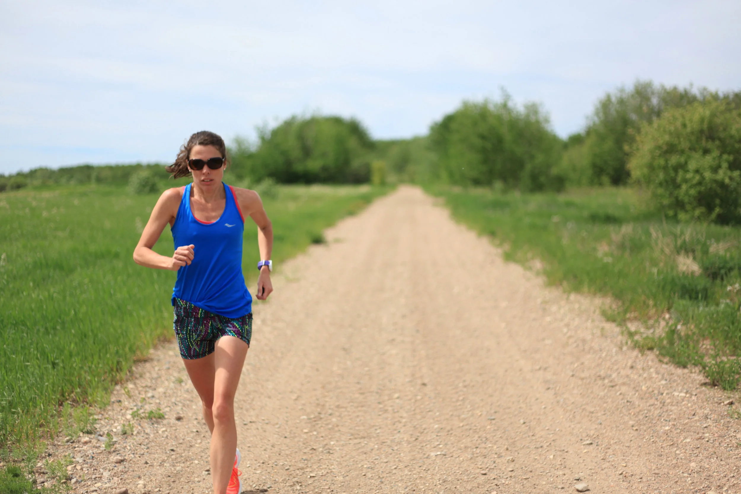
Most people start this trail near the Jackson Field Track. There is ample free parking in a gravel parking lot at the trailhead.

Iron Horse Trail trailhead at Cold Lake Staging Area
From the "Cold Lake Staging Area" sign, simply follow the gravel trail initially west then south-west. After about 1km, you will get to a fork in the trail. Take the left fork and then continue straight for another 4-5km.

On the way to the bridge, take the fork to the left
The Iron Horse Trail is about 4m wide.

Running SW towards the bridge on the Iron Horse Trail
The majority of this trail is gravel with a few sections being dirt or mud. After about 4km, you will get to a small bridge. This is not the main train trestle bridge that you want to go to so keep running for another 500m to 1km farther. As you can see in the photo below, the Iron Horse Trail does get muddy when you get closer to the old train trestle bridge.

This is the first small bridge you will get to. Keep running.
Once you have covered 5-6km, you will come to a large old train trestle bridge that was built in 1930. It was vandalized a few times but thankfully it has now been restored. It really is a beautiful place to go and is definitely a local gem.

Train Trestle Bridge crossing over Beaver River
You can walk right out onto the middle of the bridge. The deck height is about 30 to 35m off the water below. There are occasional boardwalks that jut out from the bridge deck and this lets you see a nice view of the side of the bridge.
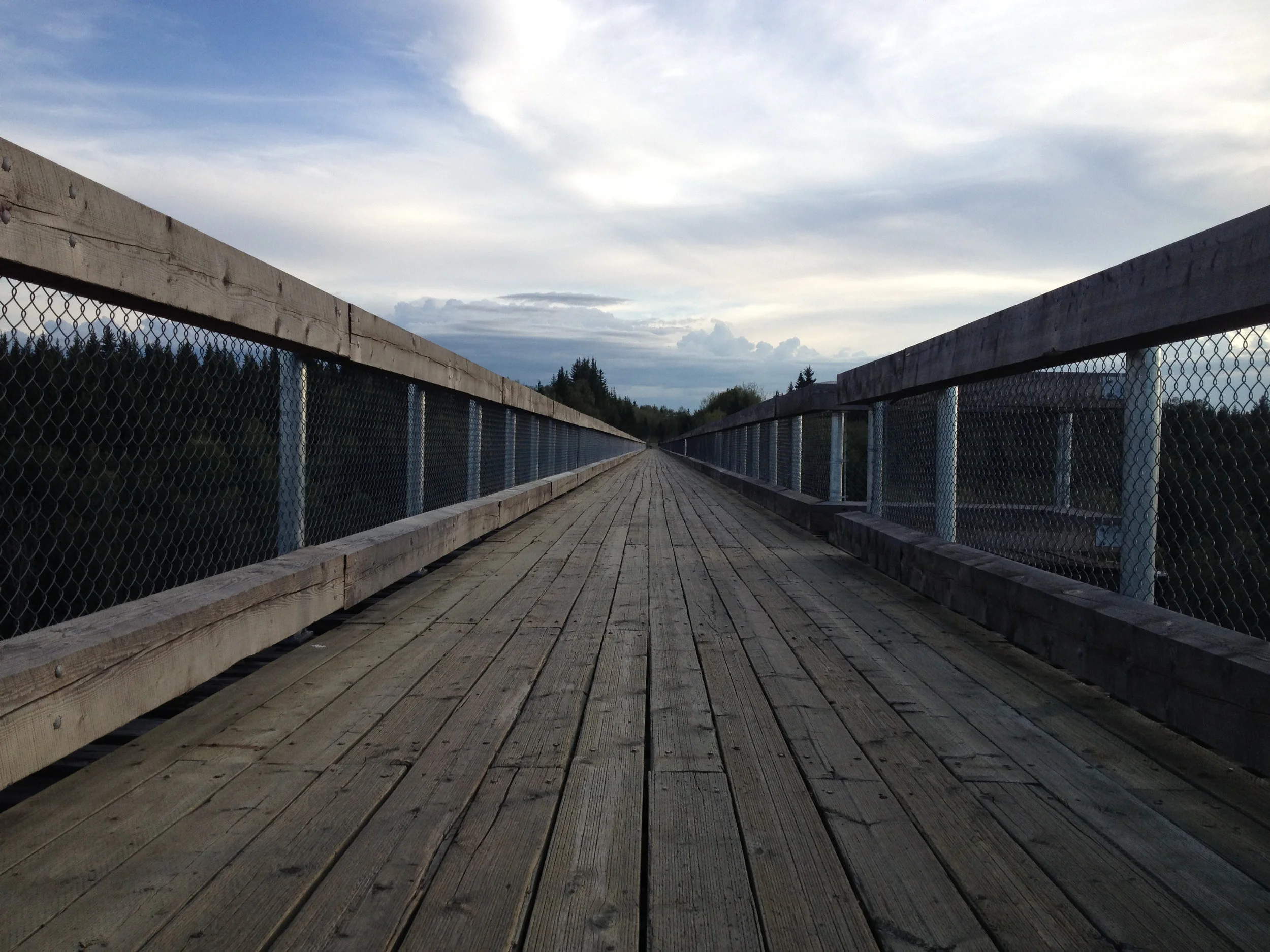
The bridge deck is 2-3m wide

Jordan Vadala looking over the edge.
The view from the top of the bridge is very nice.

View of Beaver River from the top of the bridge
You might even be lucky enough to see some wildlife, like the deer swimming in the Beaver River below.
Advice: I do not recommend running on this trail after it has rained as it will be very muddy and not enjoyable. Keep your eyes open for ATVs (and maybe even full size vehicles) as this trail does get used by motorized vehicles.
Overall, the Iron Horse Trail is a decent (albeit relatively slow) trail to run on. The old train trestle bridge that you see once you get to Beaver River is definitely worth the run.
Stay tuned for Matt's Favourite Run #4!