
By: Matt Setlack
Location: This is a loop so you can start it wherever you like but I prefer to star/end it in Tri-City Estates.
Distance: Approximately 34km
Surface: Paved road in the countryside

Map of E-Tree Farm Long Run (click to enlarge)
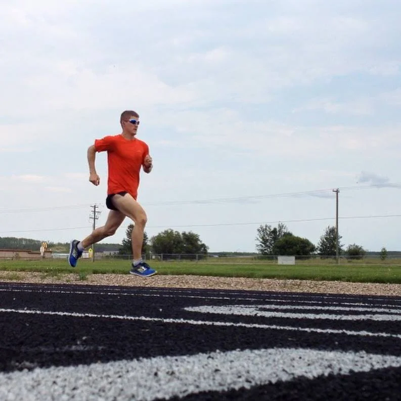
This is one of my favourite long runs around Cold Lake. It is very fast and extremely flat (about 180m of elevation gain and loss over 34km). The countryside roads are quiet and the motorists are generally very courteous (as long as they see you - so wear a bright shirt). I generally start this run in Tri-City Estates and run the loop CW.

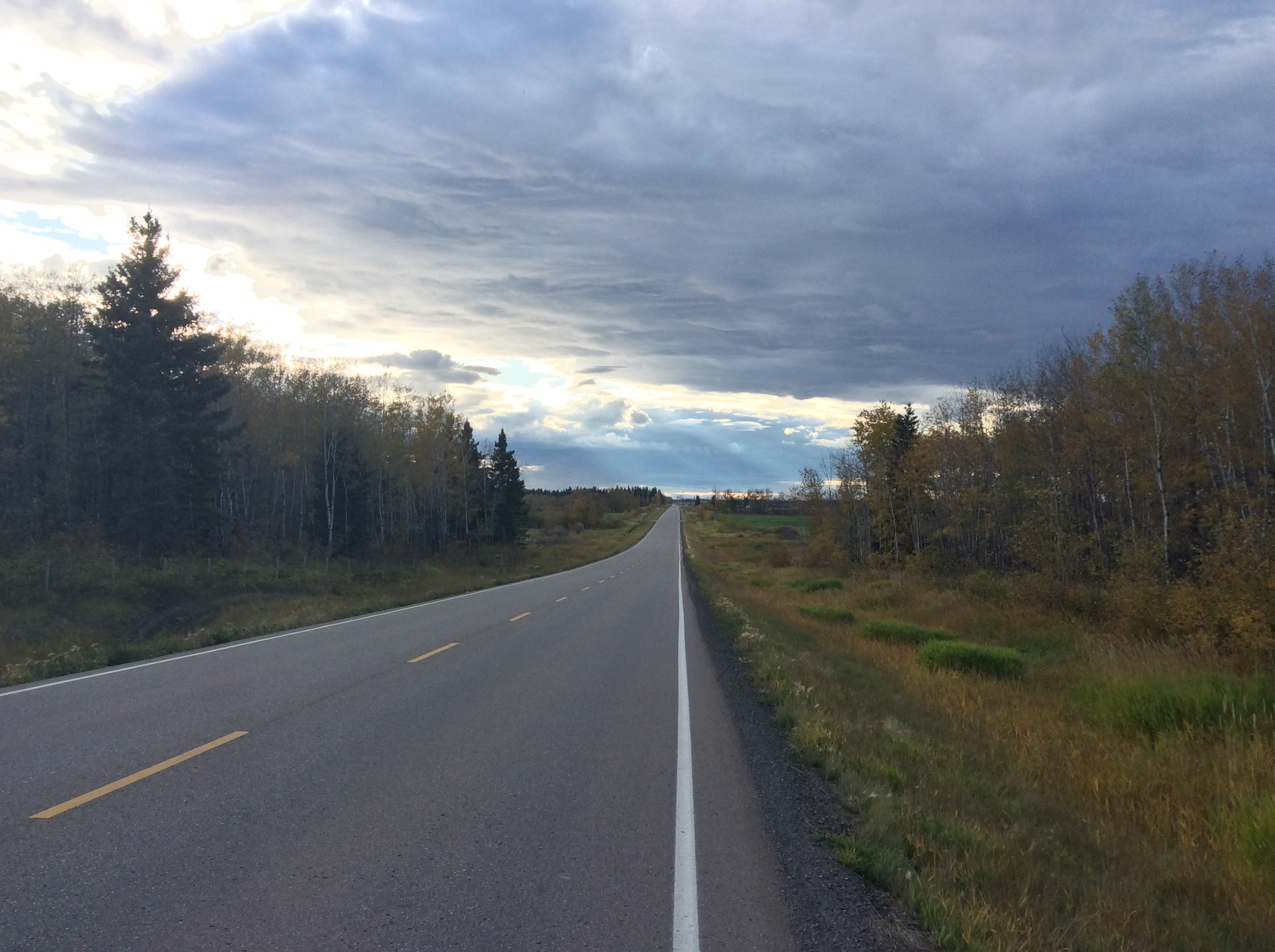
Looking east on the road to Kinosoo Ridge (Township Rd 630)
Washrooms: Located at Tim Horton's in Tri-City Estates, community garden porta-party outside the Energy Centre (in summer), inside the Energy Centre, gas stations in Cold Lake North, washrooms in the first parking lot at the Cold Lake Provincial Park (if you want to make a detour at the NE corner of the map above) and there may be washrooms at the Grand Centre Golf Course but I have not used them before.
The busiest section of this long run is the road leading to the Kinosoo Ridge Snow Resort. Once you are off this road, the run gets significantly better and much quieter. The majority of the roads on this run are lined with trees, which provide shade from the +30C heat in the summertime and a wind block from the -30C cold in the wintertime. You can run this route all year around.

Looking south on the road near E-Tree Farm (Range Rd 414)
The roads are moderately cambered so I like to run facing traffic for half the run and with traffic for half the run (on the roads that are less busy).

Looking north near the turn on Range Rd 414
You can really get into a nice groove/pace running this loop. The roads are very clean and in good condition for the most part (when they are not under construction as they are currently (Sep 2017)). Once construction is done, this is going to be an even more amazing long run.

Looking east at the intersection of Township Rd 624 and Range Rd 415
Alternates: If you don't want to run the complete 34km loop, then you can just do the "upper left box" in the map above (approx 18km, I believe). Also, when you are running eastbound on the road to Kinosoo Ridge, you can turn south a little earlier (on Range Rd 415 (as per map above) or Range Rd 15 (as per Google Maps)). I believe this would reduce the distance by about 5-6km.

Looking north on Range Rd 420A near the Grand Centre Golf Course
Advice: As of 28 Sep 2017, there is construction occurring on Range Rd 15A and on the road to the Kinosoo Ridge Snow Resort so I would not recommend running on these two roads until construction is finished.
Update: As of 28 Apr 2018, construction appears to be complete on Range Rd 15A. This road is now very likely the fastest road to run on in the Cold Lake area. I love it! The surface is relatively soft asphalt that has minimal camber. The lines have not been painted on the road yet. I recommend running facing traffic and wearing brightly coloured clothes for better visibility for the motorists.